+1 519 823 2113

Cartographics Mapping & Design provides precise and reliable mapping services with a thorough knowledge of available resources, expert use of GIS/CAD and graphic design and a well established support system.

The Founder: ANDY MCLENNAN
Throughout his career, Andy has enthusiastically participated in numerous domestic and international projects, which have embodied cartographic, geographic, 3D modelling and graphic design principles. Andy combines Computer Aided Design (CAD) and Geographic Information Systems (GIS) with his experience as a graphic designer in the creation, collection, management, analysis, and presentation of data to create meaningful and comprehensive products.
Since 1988, Andy has collaborated with specialists from many Canadian and international firms, on creative solutions for environmentally focused projects. Through his appreciation of good design, the use of GIS in database management, and a solid understanding of CAD-based modelling, he has developed a broad understanding of environmental issues and communication challenges around them.
Andy has led the mapping, design and graphic components of many projects including: EIAs for urban development and industrial facilities; Soils mapping and slope analyses; Canada Land Inventory mapping and analysis; and City and municipal planning with focus on transit and tourism.
GEOGRAPHIC INFORMATION SYSTEMS (GIS)
Species at Risk, Rare Species and Rare Habitats
In Relation to Pits and Quarries in Ontario
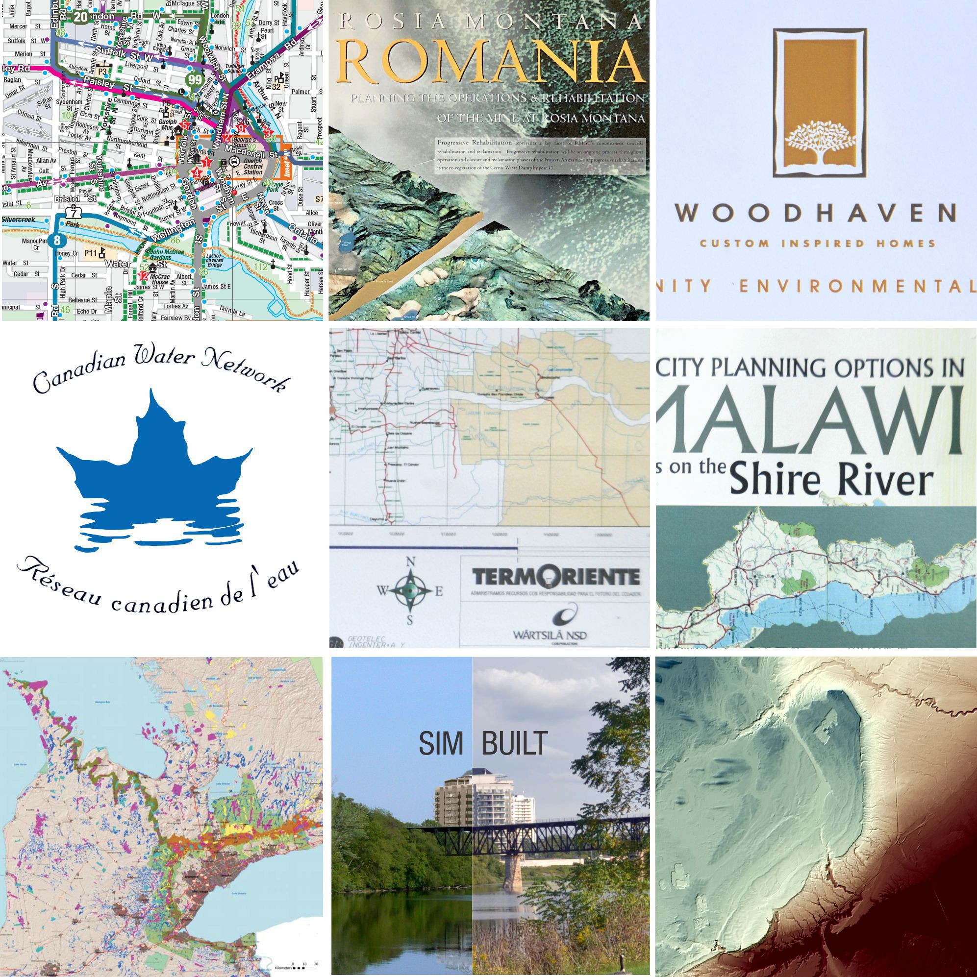
There are more than 200 designated Species at Risk in Ontario and approximately 2,800 pits and quarries (soon to be over 3,800 as a result of new designations under the Act). Many of these overlap or are located in close proximity to documented occurrences of species at risk. Some of these areas currently provide important habitat for species at risk, while others could potentially be restored to provide habitat for species at risk.

GEOGRAPHIC INFORMATION SYSTEMS (GIS)
Super-regional Modeling
Using ArcMap GIS software from ESRI, a large data set was integrated into a Geospatial library where they were compiled, massaged and combined to form several consolidated map layers that helped to identify project options. The project outputs included: Strategic input to decisions around areas of optimal resource value; Input to investment decisions; Communications and outreach materials; and, Presentation materials for use in senior industry and political discussions.

COMPUTER AIDED DESIGN (CAD)
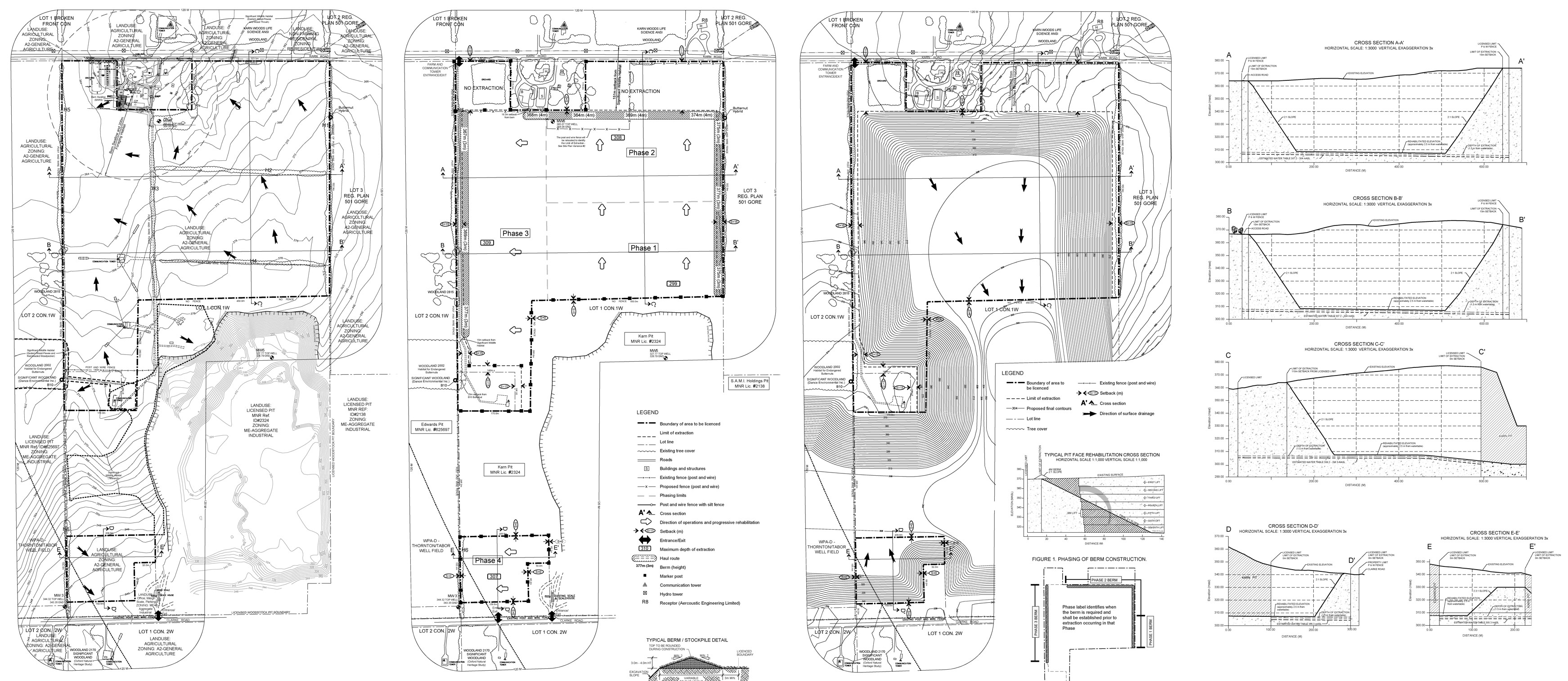
Karn Pit 2
Oxford Aggregates and Asphalt Inc. Woodstock Ontario
The rehabilitation plan for this location was prepared under the Aggregate Resources Act for a Class A License, Category 3. These site plans were submitted to and certified by the Minister of Natural Resources (as per section 8(4) of the Aggregate Resources Act).


